GIS Services
With a team of trained and certified GIS professionals, we focus on the individual requirements of our clients to develop analytic tools to provide custom solutions to assist in asset documentation, sales, feasibility studies, estimating and operational support for their businesses. Our custom approach provides our clients with analytic tools that harness the power of geography and make a difference in their ways of working.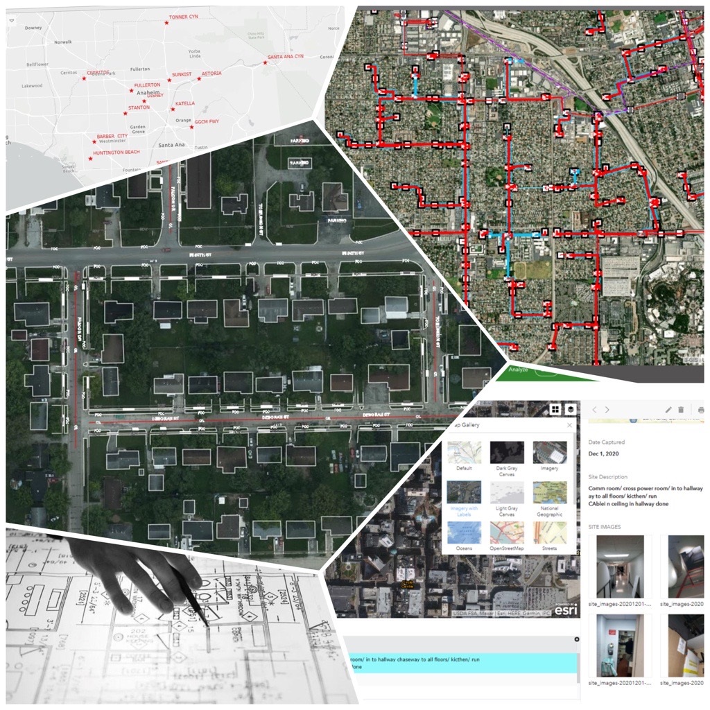
GIS Services
- Data Collection & Analysis
- Planimetric Mapping
- As-built updation
- Georeferencing & Geocoding
- Legacy Data Migration
- GIS Data Conversions
- Customizable Realtime Dashboards
- LiDAR Data Capturing & Processing
- GIS Automation Development
- GIS Support & Training
Arc-GIS, Q-GIS, 3-GIS, Network Engineer, Orbit-GT, Small World, ARAMIS

![]()
Our Services
Copyright © All rights reserved | Taro Engineering LLC